
The Borbach Chantry and the Woods
- Elaine Perkins

- Sep 21, 2022
- 8 min read

Bentley Wood is always a great attraction for us. I love just parking the car and exploring the vast networks of paths that run through it; we always seem to find new areas to explore. However, this time we thought we would mix it up a bit and explore the wider locality taking in some of Blackmoor copse, East Grimstead and West Dean. The latter is a village that sits literally on the border with Hampshire. It is easy to get lost in the woods, but we were feeling confident as we had recently, on sound advice, purchased a year’s subscription to OS maps and having downloaded the route according to the “premium topo map” we were set to go, and well, what could go wrong?
Bolstered by the thought of exploration and the idea we might find various fungi in the damp woods we decided to make an early start. I enjoy the woods at any time of day or season, well providing it isn’t too wet or stormy. But whatever time of year it is, the best time of day, for me, is early morning when the sun is low and golden yellow and the woods are misty. The beautiful light radiates through the leaves and seems to elevate the majesty of the trees and their silhouetted trunks and branches thereby allowing you to understand what an honour it is to be able to walk along the woodland paths in their presence. So it was with that feeling of privilege that we started our walk and headed from the parked car and across the road towards Blackmoor Copse.

All was still and damp in the copse, but my hopes of seeing boletes, milk caps or agarics were dashed as there were very few fungi to be seen. No doubt a little more rain was required to encourage the fruit bodies to form. So, it wasn’t long before we reached the end of the copse at Ben Lane and turned right on this road. Then, after walking for a short distance, we turned left onto a footpath that skirted a field prior to heading into another wooded area. This path leads you to a crossroads of footpaths where we were to turn left. Having taken this route previously we knew that finding the correct left can be a bit tricky as there are a few apparent left paths ahead of the one that we needed to take. Thankfully, our trusty Garmin now armed with the gpx of the route enabled us to find the path without too much trouble. Definitely a brownie point for the device and the OS maps purchase.
We were still on course and now on the path to Browns Copse and East Grimstead. Just as we entered the copse we were reminded of the devastation of the Ash dieback, with a number of felled trees in the location and signs that more trees might have to come down. However, we were heartened by the word “LEAVE” written in blue on one of the Ash trees. A lovely specimen, possibly fifteen to twenty feet high, whose canopy was shining radiantly in the sunshine, its light green foliage contrasting magnificently against the neighbouring beech trees. As I took its photo I wished it good health and hoped for it to have a long life reigning tall amongst its companions.

Leaving the Ash tree behind, we continued on our way towards East Grimstead, again guided by our trusty Garmin directing us without deviation from the designated path. Soon we had reached a little footbridge which marked the last few metres of the wood and we emerged onto a fenced path that took us through a couple of paddocks before reaching the road. Here we turned right and noticed that there were a few apple trees lining the way. It is possible they may have been some older English varieties such as russet, and something that reminded me of the Blenheim Oranges that once grew in my grandmother’s orchard. To my mind this is a lovely variety of cooking apple with a better flavour than the ubiquitous Bramley. Clearly, this village was a supporter of apples and their varieties and we were going to learn more about this later.
At the end of the road we turned left and headed further into the village. East Grimstead is an unusual but charming settlement with a number of small green areas and a duck pond. As we walked down the road, we spotted a sign for a long gone public house. We were just considering this when we saw that there was a notice attached to the sign. The notice was for what appears to be an annual event of cider pressing. “The Grim Press” as it seems to be known is quite a title but not as scary as the one for the winner of the event. The sign says that the local apples will be pressed and then taken away by residents and brewed. Then there will be a cider tasting and the maker of the best brew will earn themselves the somewhat formidable title of “Grim Reaper 2022”. Titles aside or otherwise it really sounds like a lot of fun. I am somewhat partial to a small drink of cider but I might politely decline if one were offered to me by a Grim Reaper!

On reaching the centre of the village, it had been our intention to take the first footpath off to the left and continue across the field that headed diagonally on our designated route. However, we changed our minds as there were quite a few curious bullocks all lined up as if in wait for us. So, as there was an alternative route slightly along the village road we decided that prudence was the better form of valour and took that route instead. We were glad we did as we were met with lovely views towards Dean Hill, plus we noted an incredible bounty of blackberries in the hedgerow. This really is a bumper year for this fruit.
Having deviated from the gpx route of course we found it difficult to find the path that would take us east towards West Dean. We followed what appeared to be the route towards a fallen tree but realised that we were slightly higher than the actual footpath. It didn't take us long to skirt along the edge of the first field and find the gate into the next. This one was somewhat overgrown but at least we knew we were on the right track. At the end of this field we rejoined our intended route and our faithful Garmin was able to stop alerting us of our waywardness. The path here takes you along the River Dun and the location of a Roman Villa. Of course there is a chance that the owner of the villa was originally British, but in the warm September sun I felt sure that anyone originating from warmer climes such as Rome would feel at home in this location.

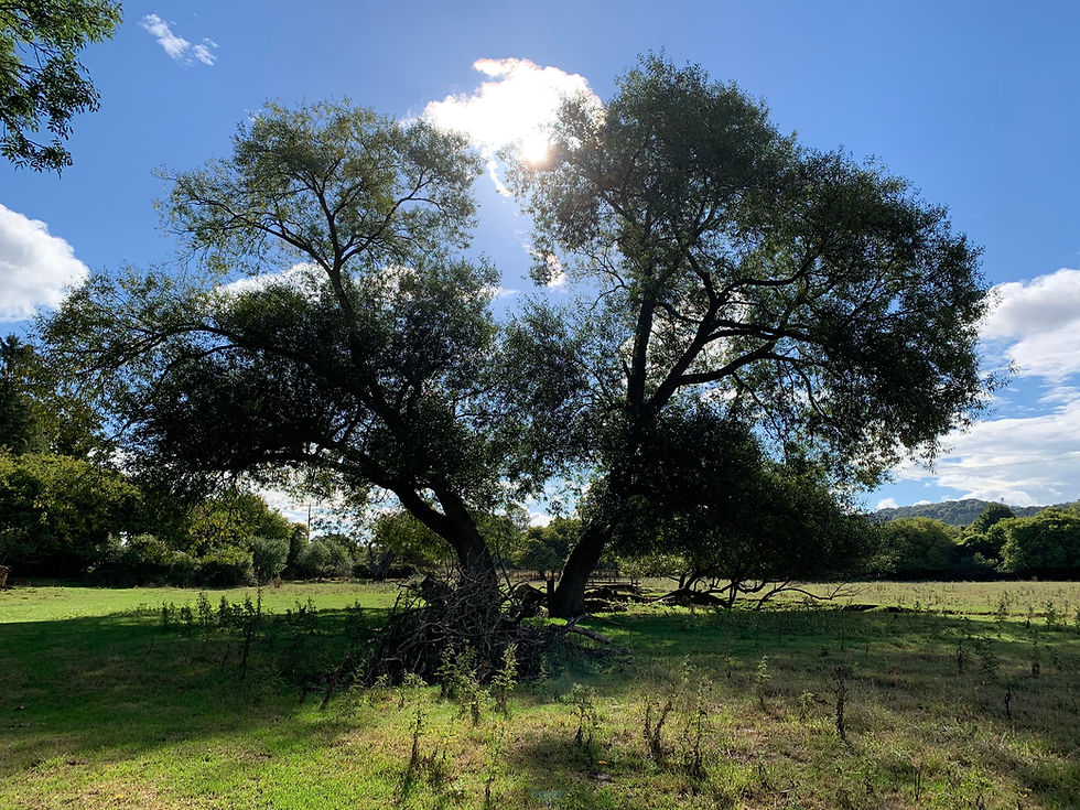
We headed along the path through a water meadow and found one of our only fungi of the day. I think it was a beefsteak polypore. Although, to be honest, as it oozed its red goo it reminded me more of a cirrhotic liver than a beefsteak, but still it was an interesting find. We also noticed a couple of Ash trees growing so close together that they were now leaning noticeably away from each other. They put me in mind of an old married couple that were still together although they had grown apart, but I suspect the truth of the matter for these trees is the desire to allow each other enough space to grow big and strong, perhaps an example to us all.
From the meadow the footpath took us through the southern most extremity of Bentley Woods and then out into a field of stubble which was crackling in the morning sun, and where there was a number of low flying house martins. Perhaps they were stocking up on food before heading off south for the winter.

Here the footpath deviates from the OS map and once again our gps device was bleeping at us, but we had no choice but to follow the apparent well trodden route towards the edge of the field and the railway line. On reaching the field’s edge we again turned east and headed towards West Dean. Soon we reached a channel, which was dry and allowed us to cross, but the better route is to turn left at this point and follow the channel to a footbridge. From there you can continue across the field to a wooded area that takes you to the village. For our walk we entered the wood a little early and so found ourselves on a more torturous route through the trees and old earthworks. These are likely the one time route of the Salisbury and Southampton Canal.
It never ceases to amaze me how different wooded areas can feel and seem so distinct from each other even if they are located in the same area, and this small copse of trees is no different. Its tall earthworks and Hart’s Tongue ferns giving this area a feel of temperate rainforest. So we enjoyed our scramble through the trees here but I would, perhaps, recommend you take the easier route through by joining the copse where the footpath does.
Emerging from the trees and crossing a footbridge we found ourselves in West Dean and turning right we headed towards the main street and railway station where it is pleasing to say that some service trains still stop and could easily act as a starting point for this walk. Turning left we headed away from the station and up past the Victorian village church and on to the Borbach Chantry noting as we went that to our left was Wiltshire and on our right was Hampshire, and that the village curiously straddled the two counties.

We did spend a little time looking around the chantry. A curious building, left after the demolition of the old church, it is thought to have been built in the thirteen hundreds by Robert de Borbach. It is believed to have one of the most extensive collections of Jacobean memorials in England. This includes the memorial to the parliamentarian John Evelyn and his family and that of Robert Pierrepont. Sadly it isn’t possible to reach the latter’s memorial to open it up to see the enclosed statue. However, a photograph can be found at https://www.visitchurches.org.uk/visit/church-listing/borbach-chantry-west-dean.html. The church also has examples of graffiti some of which appear to date back to the 1600s.

On leaving the chantry we headed back to the footpath and after pausing briefly to look at what remains of the Motte and Bailey, which lies in private land opposite the chantry, we headed back on our way along the footpath to Bentley Wood, crossing a field where we again deviated from the OS map of the footpath and once again our despairing Garmin bleated at us. But, well by now we were contently ignoring it in much the same way that we ignore the car’s Satnav, our family probably taking more of a flâneur’s approach to navigation. Besides perhaps getting lost is part of the fun isn’t it?
That said we soon found ourselves approaching Bentley Wood and were surprised to see an owl come flying out of the trees and then dive headfirst into, what I assume, was a hollow trunk. I waited a moment to see if it would reappear but it didn’t. So I was left wondering if it was happily settling down for a sleep before nighttime or if it was sitting dazed in the tree. No doubt the former as I am sure it knew what it was doing.

On entering the wood over a tortuous set of styles we were on familiar territory and walked once again with purpose and confidence. But that wasn’t to last, as our designated route back was marked with the sign announcing “danger of death due to tree felling”. So shrugging our shoulders and sighing we turned away from the chosen path to find an alternative route back to the car. Of course, at the same time, turning off the Garmin device and enjoying the final part of the walk in peace.
The walk is approximately seven miles long. The map below is an accurate representation of the location of the footpaths for the walk and starts at Bentley Wood’s western car park, which lies along the Ben Lane track. The route we took through Blackmoor Copse was relatively short but all the marked paths are permissible and you could easily extend the route here. Bentley Wood is a working wood and from time to time some areas are closed off due to tree felling. There is no danger to anyone walking in the woods providing that all the well marked signs are heeded.


Comments